Over 1,000 cloud-to-ground lightning strikes that hit Oregon on Tuesday night ignited a series of wildfires in the state, made worse by this month’s record-breaking heat in the state.
On Friday afternoon, over 10,000 Oregon residents were placed under evacuation notice due to the wildfires. Full information on current evacuation orders can be found here.
Location of Strikes

Most of the lightning strikes occurred in Southern Oregon, although 200 strikes were seen along the Cascade Range and foothills in Linn, Marion and Lane counties.
So far, July has seen extreme heat in Oregon, meaning that there was little precipitation alongside the lightning strikes. This allowed many small wildfires to grow after the lightning strikes.
Record-Breaking Fires Lead to Devastation
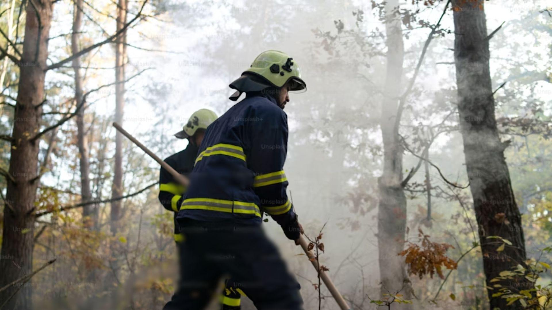
District Ranger Cameron Mitchell said that “it’ll take lifetimes for the forest to look like it used to.”
He added, “The amount of ground burned in the last four years on the Willamette National Forest is more than the amount of burning area 100 years prior to that.”
Uncontained Fires Continue To Burn
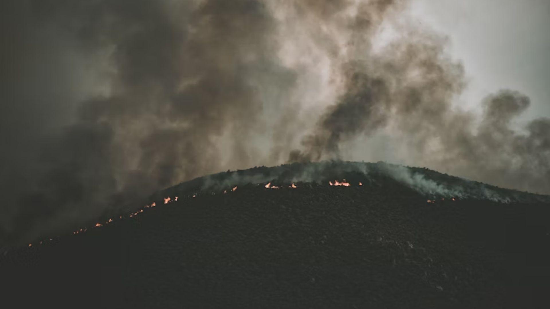
As of Friday, there were still 15 large, uncontained wildfires burning in Oregon, according to Lauren Maloney, a public information officer with the Northwest Interagency Coordination Center.
Murray said, “We’re very aware that we have a high number of resources out on the landscape. We have a lot of air resources out, we have a lot of crews out. All of our incident management teams are out managing fires. And we’re focusing on public and fire fighter safety.”
Governor Tina Kotek Takes Action

Oregon Governor Tina Kotek invoked the Emergency Conflagration Act for fires in Umatilla County, near Pilot Rock.
The fire at Pilot Rock is the largest of the Oregon fires, spanning 10,000 acres.
Wind and Dry Conditions Worsens Situation
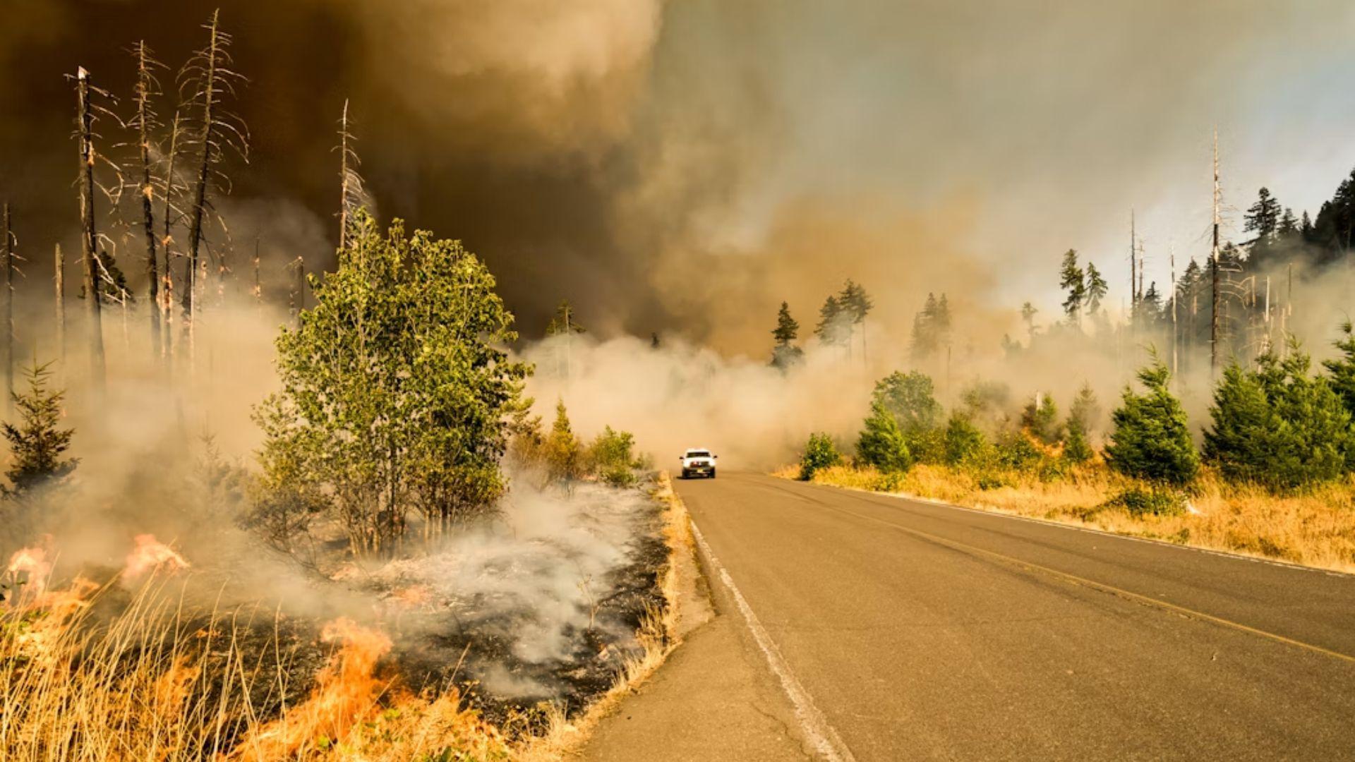
“Significant lightning storms moved through Umatilla County Wednesday afternoon and have kept local fire agencies busy responding to wildfires,” said a news release in response to the fires.
Speaking to the conditions that worsened the fires, the news release added, “Gusty winds and dry conditions caused some of these fires to grow exponentially and threaten life and property.”
Evacuation Orders
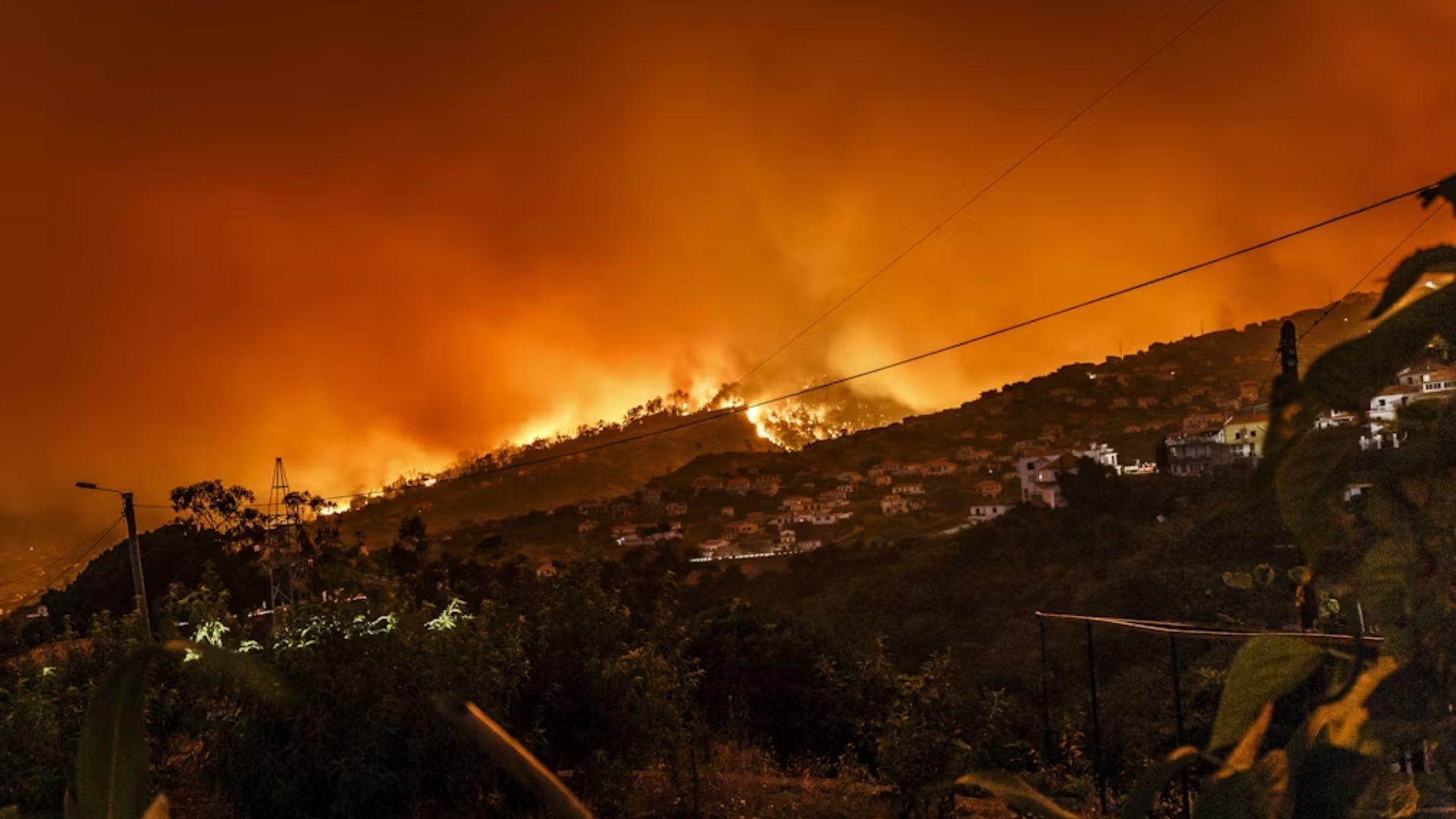
There are three tiers of evacuation order. The most serious is Level 3 (Go Now) and applies to Forest Service Road 4380, south of Forest Service Road 42 (South Century Drive), and National Forest area north of Wickiup, Forest Service Road 4262.
Level 2 orders (Be Set) apply to the National Forest area between Road 4380 and the Deschutes River, while Level 1 (Be Ready) orders are in place in the Haner Park subdivision east of the Deschutes River.
Full List of Level 3 Evacuation Orders
The full list of places where Level 3 evacuations have been ordered includes, USFS North Crater Trail #1410, USFS Summit Rock/Crater Trail #1457, USFS Mt. Thielsen Trail #1456, USFS Spruce Ridge Trail #1458, USFS Thielsen Creek Trail #1449, and USFS Howlock Mountain Trail #1448.
Additionally, the Pacific Crest Trail has been closed from the intersection of Highway 138 East at “North Crater Trailhead” to the intersection with USFS Maidu Lake Trail #1446 close to Miller Lake.
What Meteorologists Said
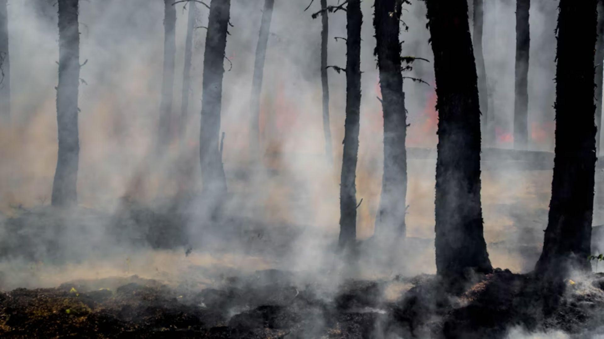
Meteorologist David Bishop said, “The lightning strikes were pretty well spread out.”
He added, “The bulk were down near Medford while we had quite a few in the Central Cascades.”
Wildfires Cause Air Quality To Deteriorate
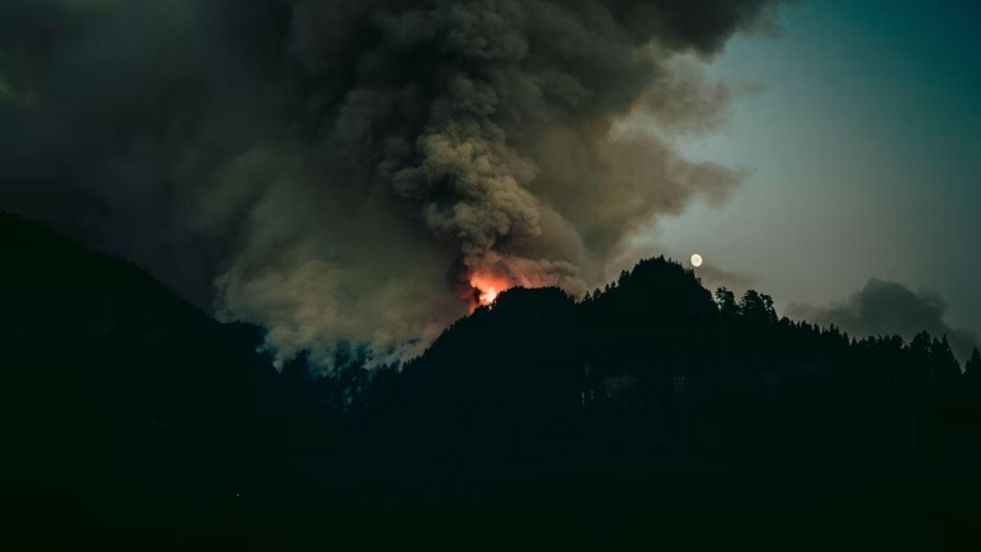
The wildfires caused air quality to deteriorate to the east of the Cascades, while the air quality on Oregon’s west side remained decent.
Burns air quality was at “very unhealthy” levels on Thursday, while Bend’s was deemed “unhealthy for sensitive groups.”
Firefighting Resources Strained: Federal Aid Requested
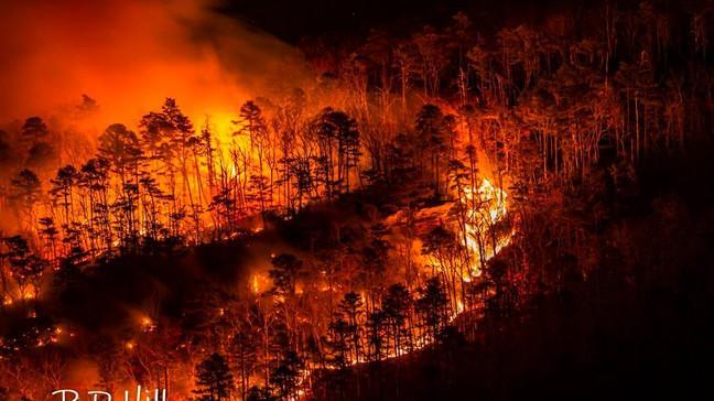
Oregon’s firefighting capabilities are overwhelmed by the multiple blazes. The state has activated its Emergency Conflagration Act to mobilize additional resources.
Federal assistance has been requested to supplement local efforts. Historically, large-scale wildfires in Oregon have required multi-agency cooperation to manage effectively.
Climate Change Link: Extreme Weather Patterns Intensify
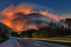
Scientists point to climate change as a factor in increased wildfire frequency. Oregon has seen a 2°F average temperature rise over the past century.
Warmer, drier conditions create an environment conducive to wildfires. Experts predict a 50% increase in annual burned acreage by 2050 if current trends continue.
Economic Impact: Tourism and Agriculture Suffer
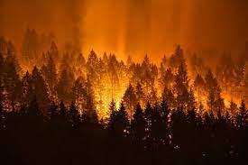
Oregon’s wildfire crisis is dealing a severe blow to its economy. The state’s $12.8 billion tourism industry faces cancellations and reduced visitor numbers.
Agriculture, a $5 billion sector in Oregon, is threatened by fire damage and smoke contamination. Historical data shows that major wildfire seasons can result in economic losses exceeding $1 billion for the state.
Wildlife at Risk: Ecosystems Face Long-term Damage
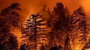
Oregon’s diverse ecosystems are under threat from the widespread fires. The state is home to over 460 species of native wildlife, many now at risk.
Habitat destruction can lead to long-term population declines and potential local extinctions. Previous large-scale fires in Oregon have taken up to 50 years for full ecosystem recovery.
Technology Aids: Drones and AI Enhance Firefighting
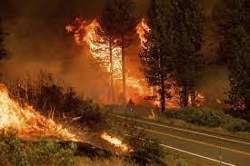
Oregon is employing cutting-edge technology to combat the wildfires. Drones equipped with thermal imaging cameras map fire boundaries with 90% accuracy.
Artificial Intelligence algorithms predict fire spread patterns, improving resource allocation by up to 30%. Historically, technological advancements have reduced wildfire damage by 15% over the past decade.

